Log in
All resources
Create a design
183,459 Free Images of Maps With Figures
fonds ancely - bibliothèque municipale de toulouse - maps
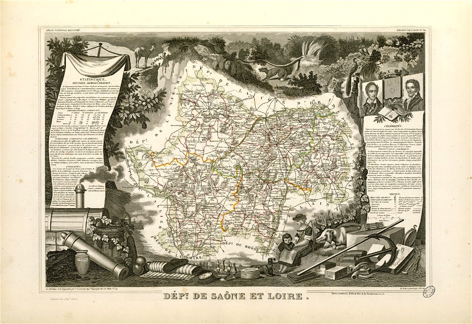
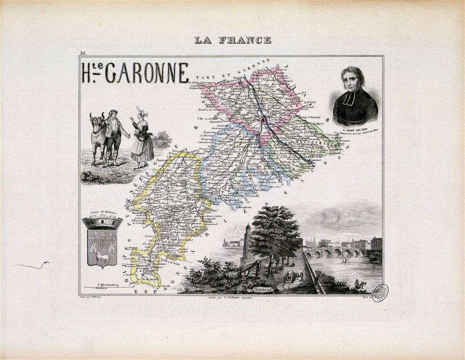
victor levasseur - maps of france
maps made in the 17th century
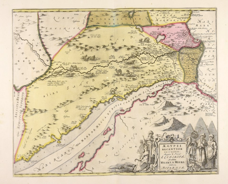
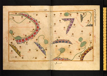
bodleian library
arabic-language manuscripts
files from the bodleian libraries
ms. greaves 42
manuscript maps
atlantis magni tomus tertius (biblioteca comunale di trento)
giovanni camocio
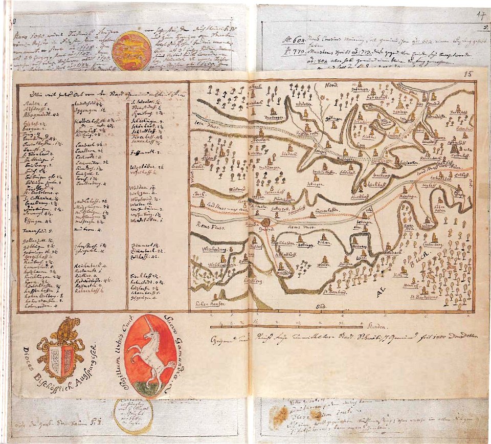
maps of schwäbisch gmünd
dominikus debler
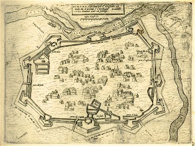
old maps of vienna
giovanni camocio
description de l'universe
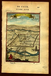
maps of nineveh
description de l'universe
maps of nineveh
maps in the library of congress
maps in the library of congress
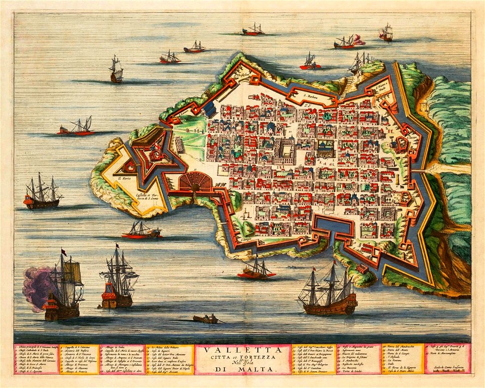
old maps of valletta
joan blaeu
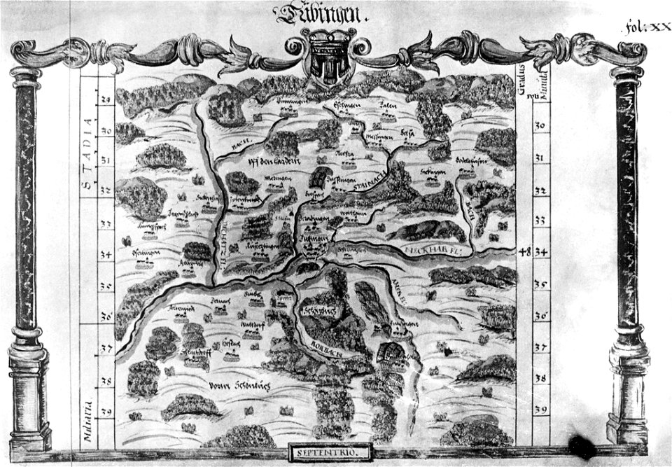
maps of tübingen
1575 in tübingen
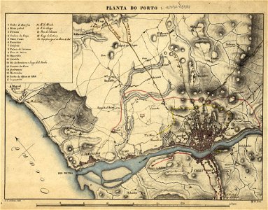
19th-century maps of porto
1830s
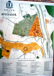
historical plans of yaroslavl
1883 maps
19th-century maps of porto
1865,
maps by willem and johannes blaeu
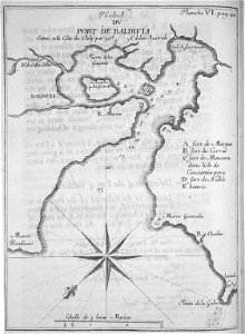
old maps of valdivia
frézier's travel
old maps of ancient rome (city)
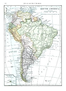
old maps of south america
1909
theatrum urbium (1610)
maps of geneva
maps by willem and johannes blaeu
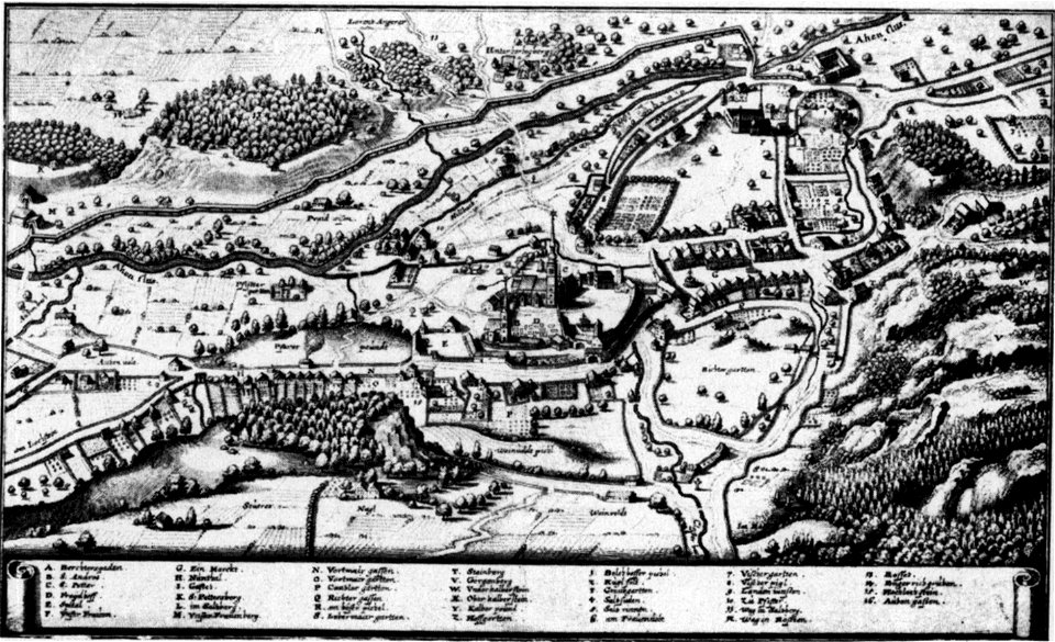
augustinerchorherrenstift berchtesgaden
old maps of berchtesgaden
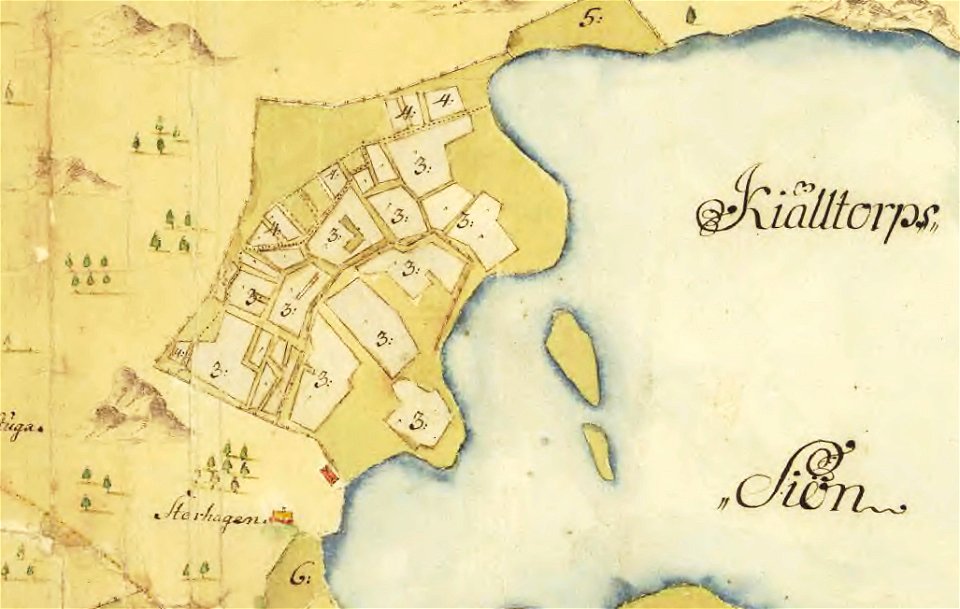
maps of lars kietzlingh
nacka
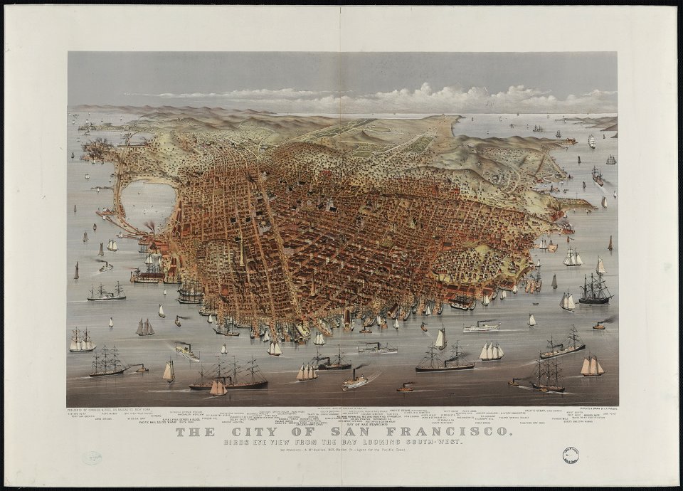
bird's eye view maps of california
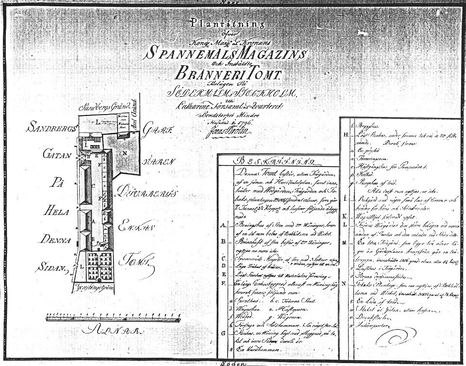
maps by jonas brolin
kvarteret tegen
walter cooper dendy
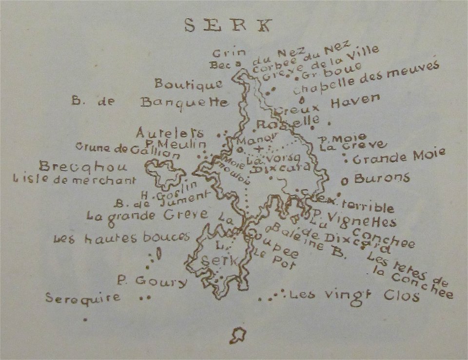
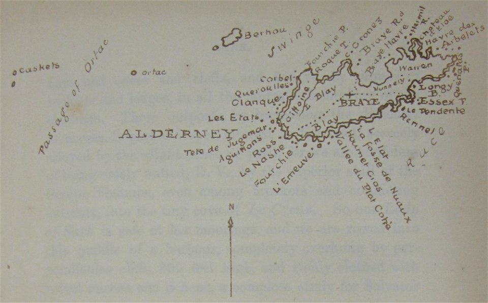
maps of sark
walter cooper dendy
maps of alderney
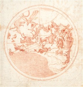
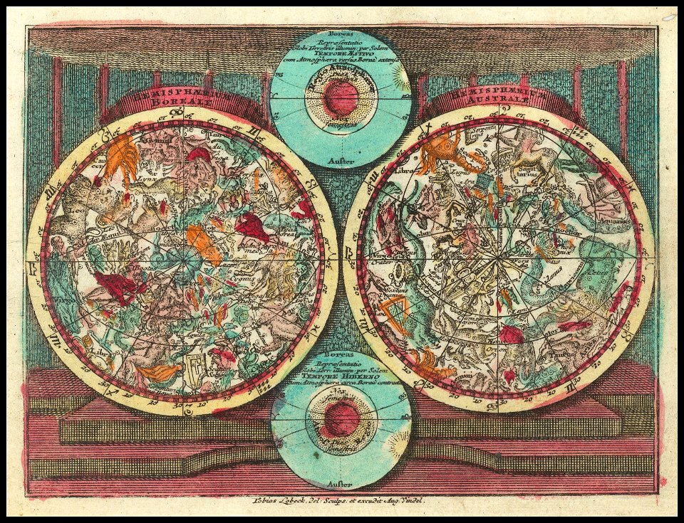
constellations in art
old celestial maps
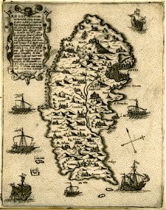
old maps of rhodes
giovanni camocio
giovanni camocio
samos
parts of old maps of berlin
maps of lidingö
yttringe
maps by jodocus hondius
samuel purchas
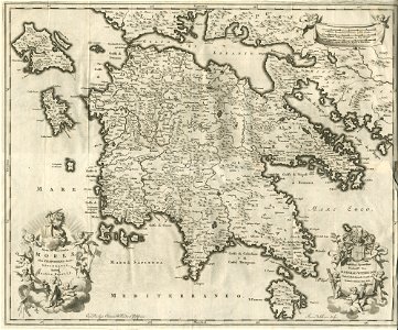
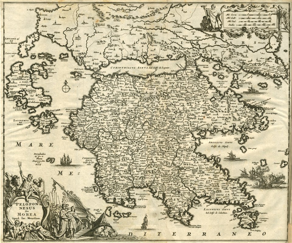
old maps of greece
olfert dapper
1630s maps of africa
matthäus merian
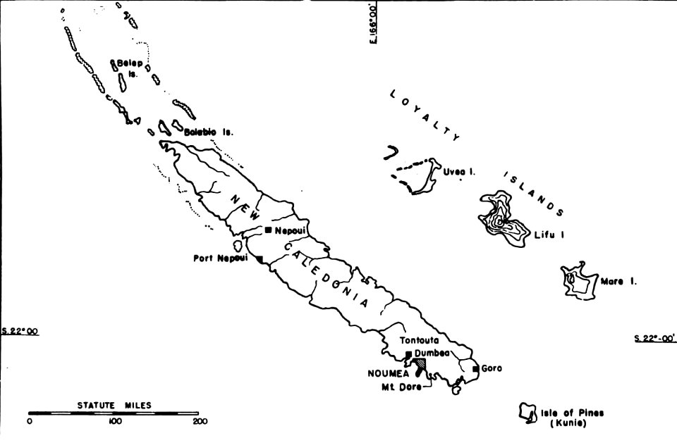
political maps of new caledonia
nouméa
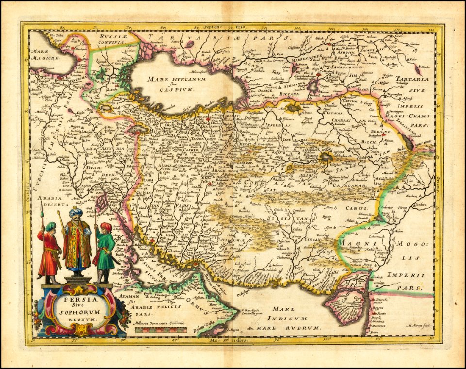
old maps of iran
matthäus merian
old maps of greece
olfert dapper
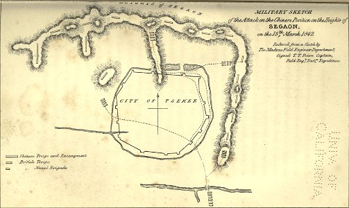
maps of the first opium war
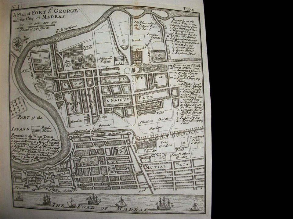
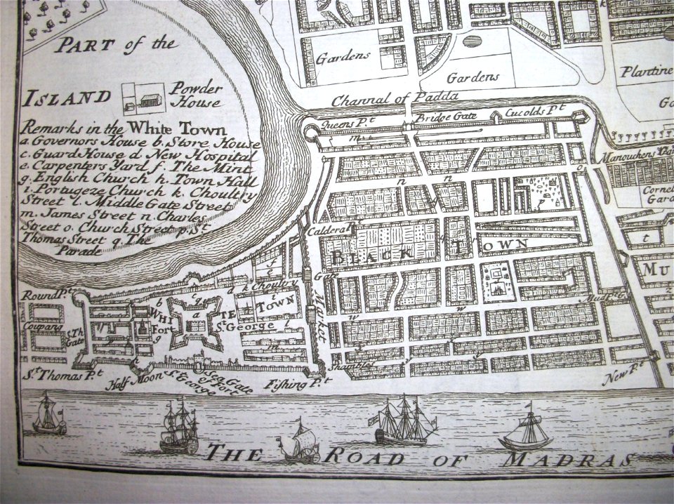
thomas salmon (historian)
maps of chennai
thomas salmon (historian)
maps of chennai
groningen
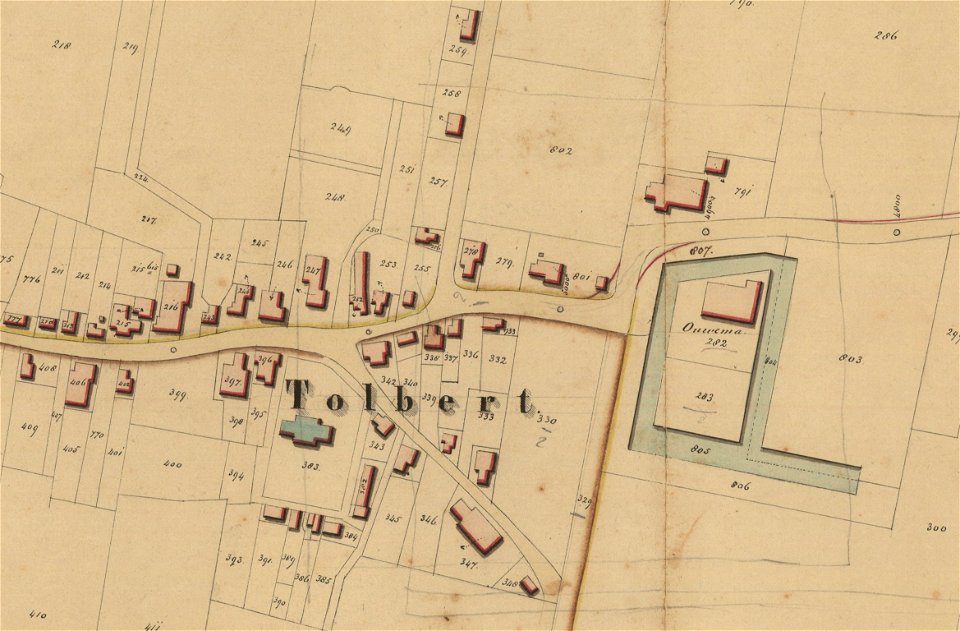
tolbert
groningen
holwinde
maps of lars kietzlingh
nacka gård
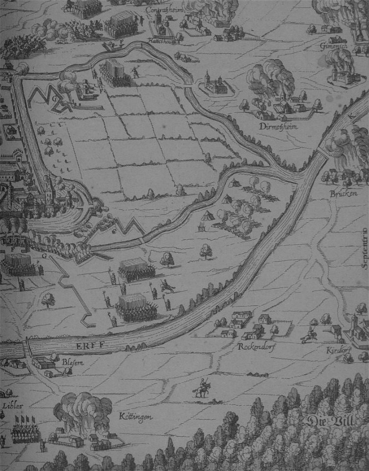
maps of erftstadt
kierdorf
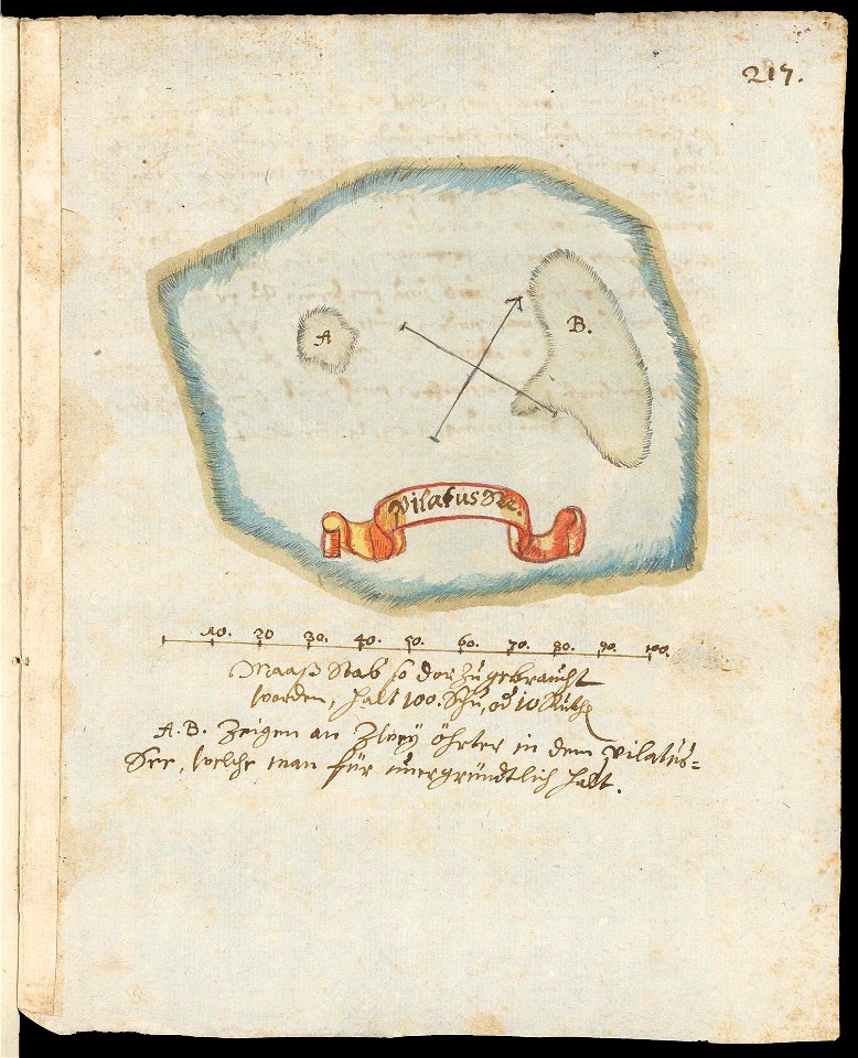
maps of lakes of switzerland
pilatussee
maps by willem and johannes blaeu
tobias conrad lotter
old celestial maps
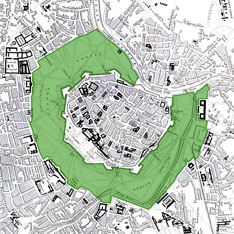
vienna
glacis
old maps of zierikzee
braun & hogenberg
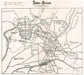
trams in warsaw
maps of warsaw
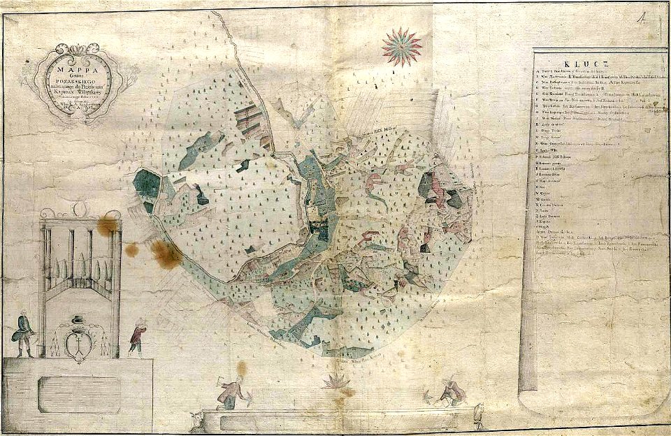
history of vilnius
maps of vilnius
history of vilnius
maps of vilnius
maps by jodocus hondius
samuel purchas
joan blaeu
vogtland
old maps of île-de-france
1575 maps of transylvania
johannes sambucus
old maps of the caspian sea
korschenbroich
liedberg
tranchot maps snippets
angelsdorf
17th-century allegorical paintings
putti on clouds
maps made in the 17th century
gerard valck
fonds ancely - bibliothèque municipale de toulouse - maps
frédéric-auguste laguillermie
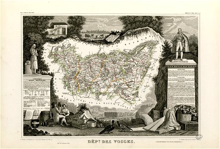
coats of arms of cities in vosges
claude-victor perrin
françois-antoine de boissy d'anglas
frédéric-auguste laguillermie
fonds ancely - bibliothèque municipale de toulouse - maps
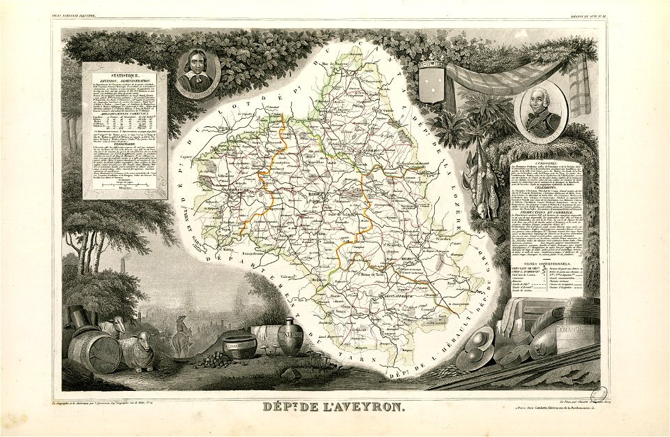
coats of arms of cities in aveyron
coats of arms of chalon-sur-saône
alphonse de lamartine
coats of arms of cities in hautes-pyrénées
bertrand barère de vieuzac
coats of arms of cities in jura (department)
charles pichegru
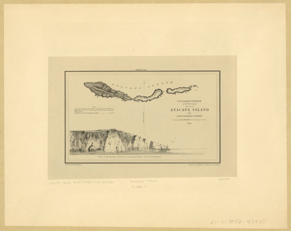
anacapa island
california
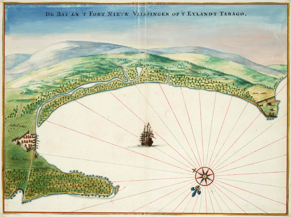
tobago
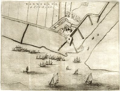
1665
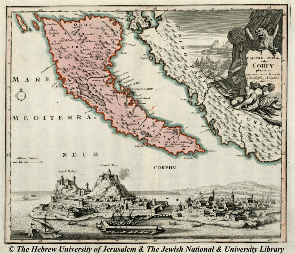
engravings of palaio frourio (corfu)
1720 maps
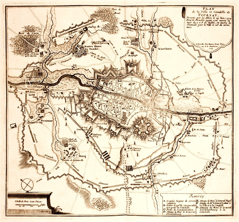
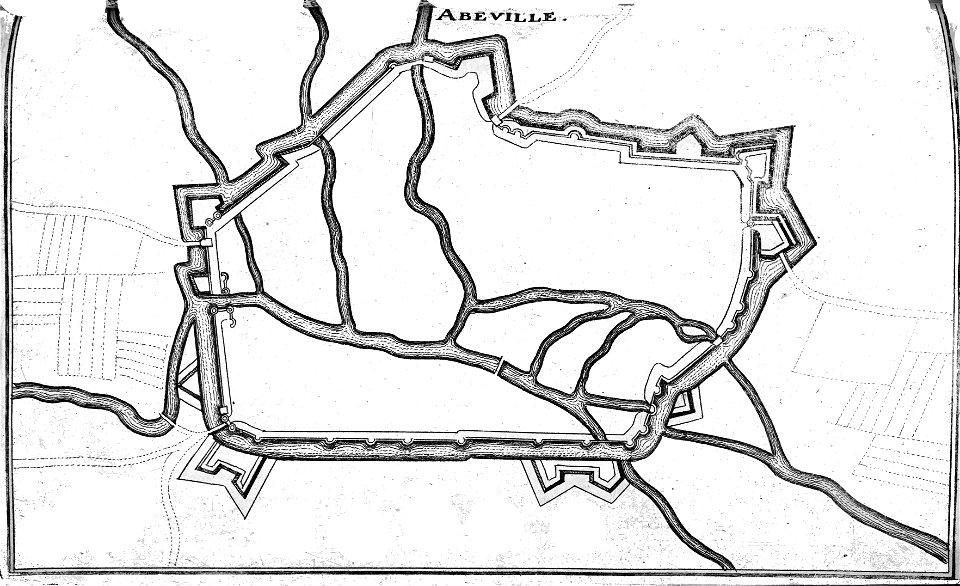
maps of tournai city walls
old maps of tournai
fonds ancely - bibliothèque municipale de toulouse - maps
roch-ambroise cucurron sicard
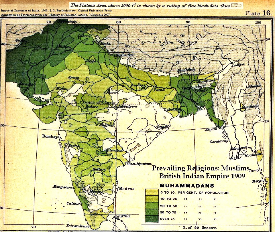
old maps of the indian subcontinent
dominion of india
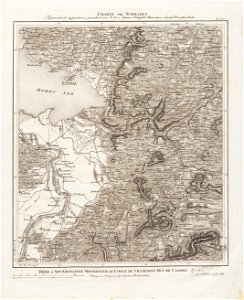
maps made in the 18th century
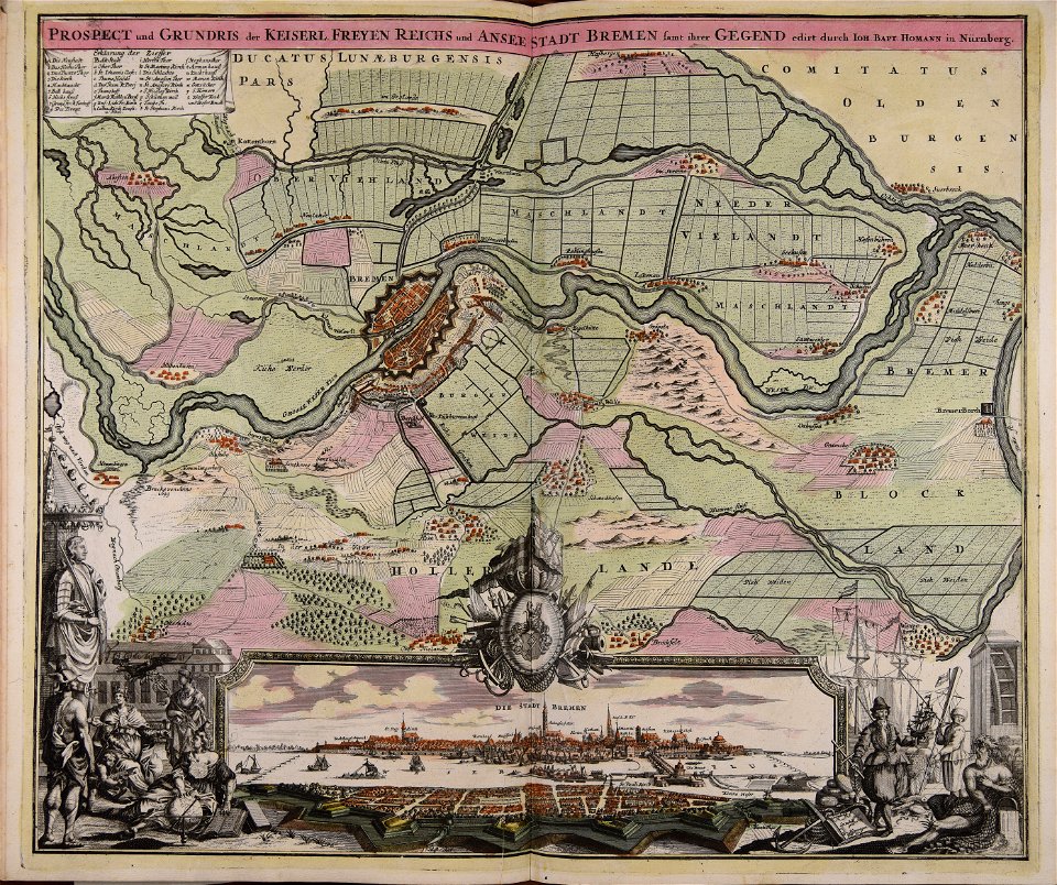
johann baptist homann
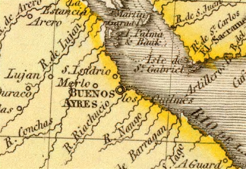
old maps of the río de la plata
1812 maps
18th-century maps of brazil
1780 in south america
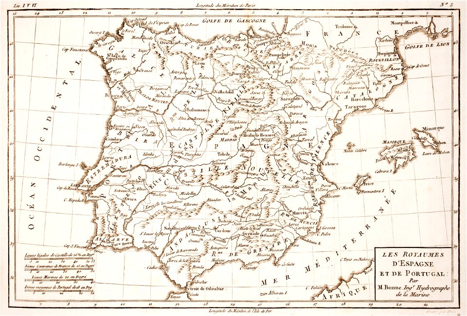
1780s maps of portugal
1780s maps of spain
old maps of governorates of the russian empire
old maps of viceroyalty of the caucasus
maps by frederick de wit
trier see coat of arms
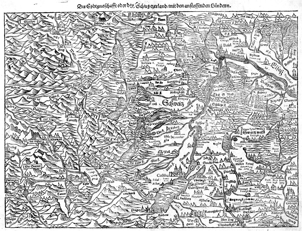
old maps of the canton of zürich
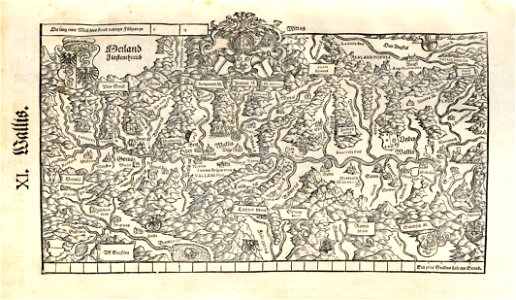
old maps of switzerland
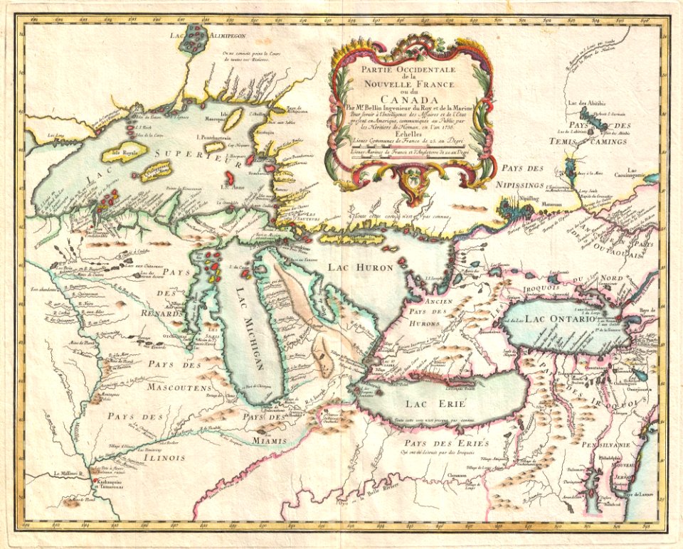
iroquois
ontario
maps made in the 16th century
old maps of switzerland
portrait paintings by miguel antónio do amaral (portuguese royalty)
18th-century portrait paintings in the hermitage
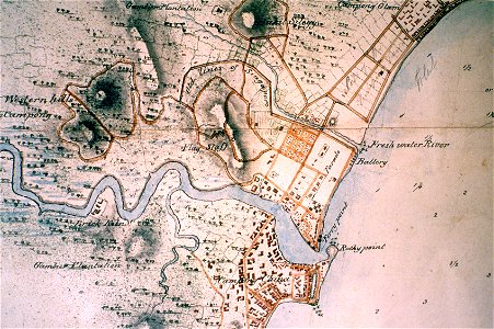
singapore river
singapore
paintings by jerzy siemiginowski-eleuter
baroque painting
portrait paintings by hans eworth
northern renaissance
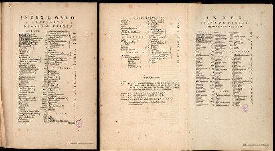
bibliothèque municipale de reims
rès. g 152
atlantis magni tomus tertius (biblioteca comunale di trento)
maps made in the 17th century
atlantis magni tomus quintus (biblioteca comunale di trento)
maps made in the 17th century
maps made in the 17th century
jan janssonius
maps made in the 17th century
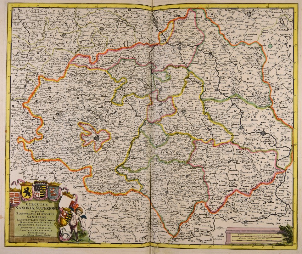
old maps of lower saxony
charts and maps of the royal museums greenwich
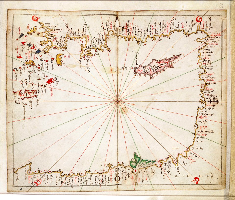
16th-century maps of the mediterranean sea
illustrations of cosmographia (münster)
old maps of switzerland
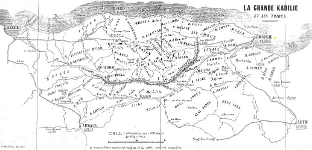
maps of departments of french algeria
maps of kabylie
old maps of china
bodleian library
old maps of tunisia
bodleian library
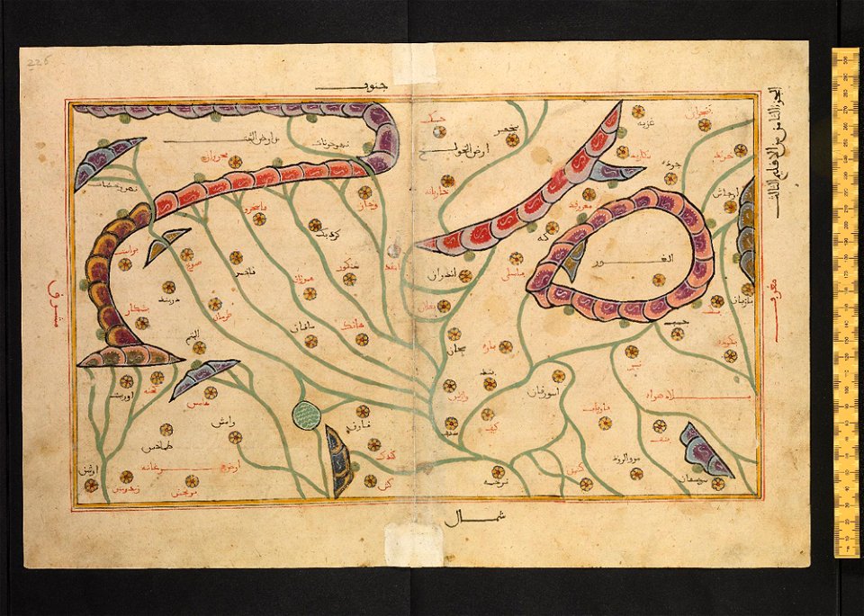
old maps of turkestan
bodleian library
old maps of turkestan
bodleian library
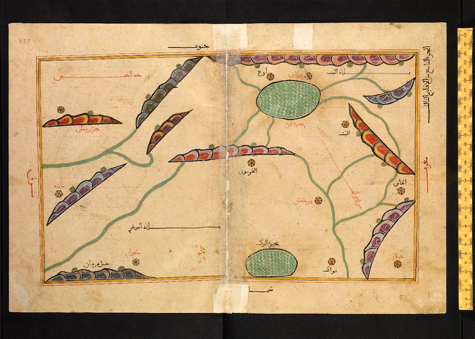
arabic-language manuscripts
bodleian library
history of lindau (bodensee)
alter rhein
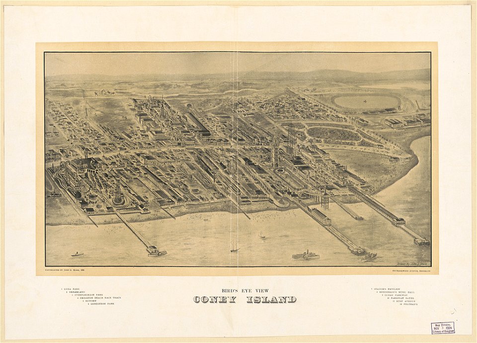
coney island
brooklyn
atlantis magni tomus tertius (biblioteca comunale di trento)
maps made in the 17th century
5701 - 5800 of 183,459
Next page
/ 1835